|
#21
 08-27-2011, 09:56 AM
|
||||
|
||||
 http://www.nhc.noaa.gov/graphics_at4...large#contents The eye of tIrene is moving north northeast through the outebanks of North Carolina at 15 mph through the coastline of numerous states towards New England as a Cat. I storm with sustained 85 mph winds gusting higher. Hurricane and tropical force winds extend outward from the center 90 and 260 miles respectively per the NHC. http://www.nhc.noaa.gov/text/refresh.../271448.shtml? http://www.wunderground.com/ http://www.wunderground.com/tropical/ The NHC cone is in part derived from the evaluation of several models. The Weatherunderground cone and track map shows similar information to the NHC map but may be more readable. This shows the predicted hurricane core locations and strengths through Monday. The hurricane is forecast to substantially impact eastern parts of North Carolina up into New England between Saturday and Monday. 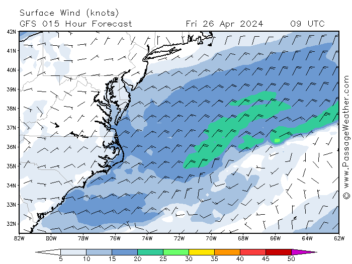 http://passageweather.com/index.htm?...es/mappage.htm Two models, the GFE and NAM are depicted along with wind fields in this figure. If you hit next or animate at the link above, it will show you the predicted tract. NOTE: the maximum wind this map shows is 50 kts even though winds may go much higher both in sustained winds, squalls, tornadoes, etc.As always, these models and actual storm movements will change through time. Still, if you live in predicted effected areas I would take appropriate steps per official instructions in your area to prepare and hope for the best as we do in Florida. Good luck and take care.
__________________
FKA, Inc. transcribed by: Rick Iossi 
|
|
|


 Threaded Mode