|
#1
 03-14-2012, 08:20 AM
|
||||
|
||||
|
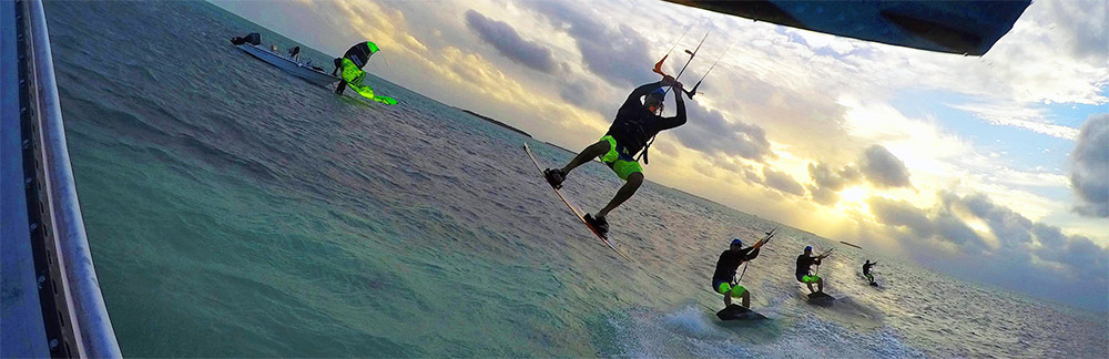
Just came across this article on observations of clouds and kiting weather.
"Cloud types and kiteboarding safety Friday, 02 March 2012 15:31  The analysis of winds and global weather conditions before a kiteboarding session is a very important safety procedure. Before preparing your gear and launching the kite, spare a few minutes assessing the sky and its clouds. Kiteboarding demands an intelligent approach to clouds. They often tell us how the weather is at the moment, but also what can be heading our way. Normally, your eyes can reach very far away. From where you're about to hit the water, it's possible to get a circular view of dozens of miles. We also know what's not good for kiteboarding. Strong and instable wind gusts, walls, buildings, electricity wires and general wind turbulence. Black clouds are a warning sign. If see one or a group of black clouds, then you should probably wait or quit the session, if you're already riding. Black clouds carry rain and very harsh winds that will overpower your kite. Wind can throw you 40 feet up in the air without letting you know. Accidents like these happen every week, in every corner of the world, by novice and experienced kiteboarders. The goal is to enjoy, not putting your life at risk." Continued at: http://ns.surfertoday.com/kiteboardi...oarding-safety This is good information to have and think over. Beyond that, weather varies the world over and wind addicts have an obligation to work to understand what brings good useable wind in their area vs. the bad variety. Ditto the comments about the hazards of "black clouds." At the same time, in this day of detailed real time weather data, extensive forecasts, satellite and radar data, it is foolish to simply limit yourself to inferences alone about what may come about sometime simply from the appearance of a few cloud types. Horsetail clouds imply a frontal boundary on the way, good enough, but why would you stop there? Why not checkout weather map and forecasts, real time winds and radar/satellite imagery for a lot more useable specifics and estimates routinely. Use what information you can, knowledge is power and should allow you more satisfying sessions with less wind waiting and fewer weather hazards. More about weather planning for kiting at: http://fksa.org/showthread.php?t=7043 .
__________________
FKA, Inc. transcribed by: Rick Iossi Last edited by ricki; 03-14-2012 at 08:53 AM. 
|
 |
| Thread Tools | |
| Display Modes | |
|
|


 Linear Mode

