|
|
|
#1
 12-11-2007, 09:56 AM
|
||||
|
||||
|
Here are some images that should auto-update to help out with weather planning, i.e. inbound fronts, tropical systems, identifying and avoiding squall lines, etc.
What does NWS think is coming in? http://www.nws.noaa.gov/om/marine/zone/south/tbwmz.htm http://www.spc.noaa.gov/  http://weather.sun-sentinel.com/US/R...Satellite.html  http://images.intellicast.com/ http://www.baynews9.com/Doppler9000.html  Fronts and other systems moving in and for estimating time of arrival. Click for animated map: http://www.hpc.ncep.noaa.gov/basicwx/day0-7loop.html http://www.windonthewater.com/ and http://www.ikitesurf.com/windandwher...ction=Gmap+Obs What is going on with real time wind locally and upweather? Is it spiking in a squall line, boosting big and staying there or easing off? What is coming your way and when? Is some funky, strong wind coming over from the east coast? What does Port Manantee show on PORTS? http://co-ops.nos.noaa.gov/tbports/tbAllMET.html 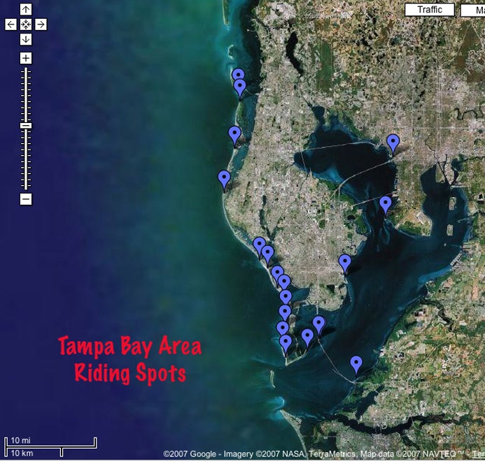 Area Launches from Bryan, Click for active interactive map - http://tinyurl.com/284jfa 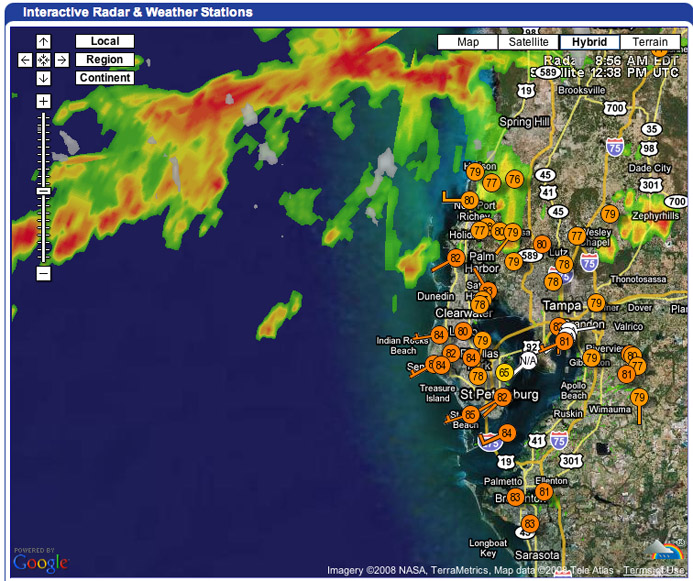 Click image to go to realtime weather site. Last edited by ricki; 04-15-2010 at 11:00 AM. 
|
|
#3
12-11-2007, 07:35 PM
|
||||
|
||||
|
|
 |
|
|


 Hybrid Mode
