|
|
|
#1
 12-20-2004, 10:05 PM
|
||||
|
||||
|
I know very little about temperate winter weather, snow squalls or other related phenomena. I do know that traction kites will react violently to excessively gusty weather, regardless of the temperature or latitude.
If you examine the time plots of temperature, atmospheric pressure and wind speed you will readily see some obvious correlations for stations located to the west at Edson (up wind) and Edmonton (downwind) of Alberta Beach. You can go to the north and south of Alberta Beach and find very similar correlations on the interactive map page at: http://www.climate.weatheroffice.ec....onth=12&Day=19 At first glance I would say to carefully review forecasts, warnings, color radar, isobar maps** before deciding to snow kiteboard. While I was out, I would monitor sky conditions, wind speed, direction, gust range, temperature and atmospheric pressure. Many watches can currently provide temp. and pressure readouts. This would be particularly important if storms are in your area. If you are in an extended high, real time temp and press. data MAY be less important. What do others do? It looks like at least in this one case, a rapid temperature drop preceeded a violent increase in windspeed in all of the cases recorded for surrounding cities. It would be best to better understand the relationships between temperature, atmospheric pressure and the onset of squally winds. Falling atmospheric pressure seems to preceed many of these storm events, sometimes they are preceeded by a drop then a leveling off or even a rise.  From: http://www.rescuedynamics.ca/wx/canABsat.htm It would appear the leading edge of the cold front may have passed over that part of Alberta at around the time of the accident. There is an animated Sat. image page with weather symbols (front demarkations,etc.) at (great site, check it out) for around the time of the accident: http://www.atmos.washington.edu/imag...2004121921.gif Of course this was a particularly acute weather incident. I would guess that you don't need nearly as violent a gust range as happened on this date to cause a dangerous situation, just as on the water. So, you may need to look for trends and more subtle indications to improve the odds that you won't have a kite up when the strong stuff blows through. One of the newspaper accounts mentioned Lawrence normally wore a helmet but not this time. It speculated that he may have lost consciousness thereby removing his ability to depower. it is possible that the lofting/dragging happened so rapidly as to remove the option to become aware, analyze and react to the situation. We may never know but we do need to understand the various scenarios that may have transpired in an effort to reduce the odds for similar accidents. We have been focusing on weather planning and monitoring in water kiteboarding or kitesurfing for years. There isn't much difference when you are on land with regard to the threat except that there are a lot more hard objects all around on land. Weather planning and monitoring is important for any type of traction kiting. There must be a lot of accumulated knowlege among the readers in the area of ski mountaineering perhaps even winter hang gliding and paragliding. These are activities in which clear understanding, predicition and monitoring of weather have been known to be vital for a very long time. Snow kiteboarding doesn't appear to be all that different in that regard. So how about it, what can folks offer about weather planning and monitoring for areas under snow. This applies not only to plains areas but also to frozen lakes,rivers, piedmont and mountain areas, etc.. That is a lot of terrain and weather variations to address. Then again, that includes the areas we ride in. We need to accumulate information and rapidly with the explosive growth of snow kiteboarding and the season has just started. Environment Canada has some interesting looking planning resources such as the severe wx isobar maps at: http://weatheroffice.ec.gc.ca/model_...weather_e.html http://www.rescuedynamics.ca/wx/canABsat.htm Warnings at: http://weatheroffice.ec.gc.ca/warnings/warnings_e.html Text forecasts at: http://weatheroffice.ec.gc.ca/foreca...cast_e.html#AB A summary of varied wx resources for climbers in the area appears at: http://www.rescuedynamics.ca/wx/canMTNwx.htm#AB Another nice resource for the NW areas appears at: http://www.atmos.washington.edu/~ovens/loops/
__________________
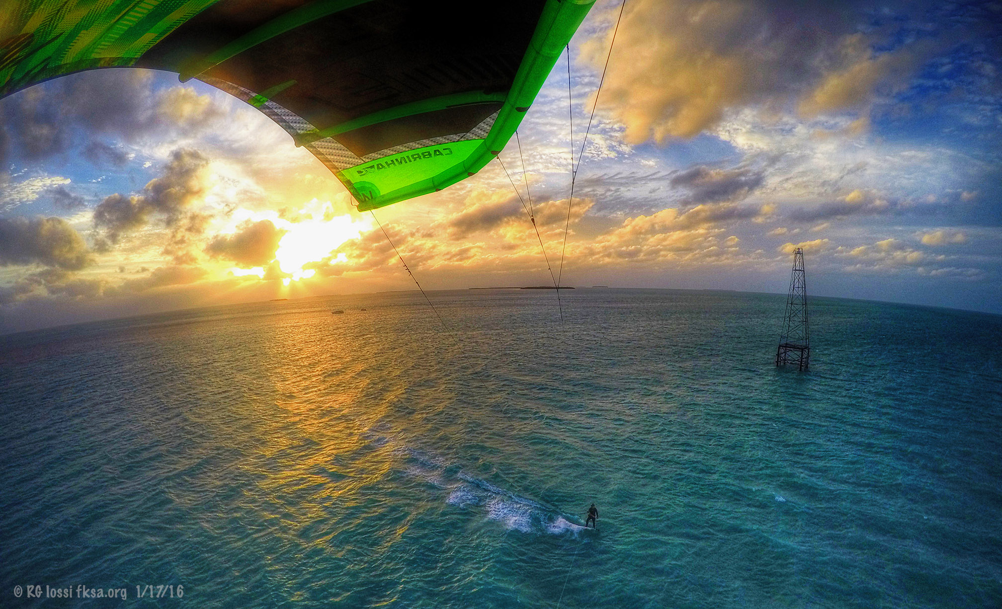
FKA, Inc. transcribed by: Rick Iossi 
|
 |
|
|


 Hybrid Mode
