Earlier this morning as a result of TS Ernesto there was about an 87 kt. gust spike in east Boca Raton at close to 9 am. This was recorded at:
http://www.evsboca.com/

The refectivity radar image for the area (very close to "BCT" at the SE corner of Palm Beach county) was unimpressive to say the least.

BUT, checkout the velocity image:

 CLICK FOR FULL SIZED IMAGE
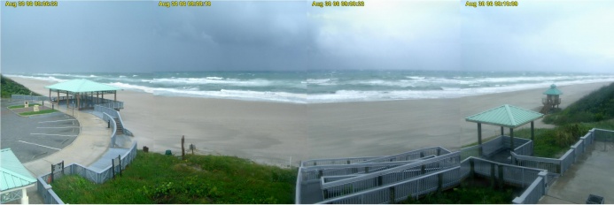
A composite image taken from the hi res EVS livecam at the anenometer station at 9:08 am following the wind spike appears above. There seems to be a particularly dark cloud mass moving to the NE of the location.
 CLICK FOR FULL SIZED IMAGE
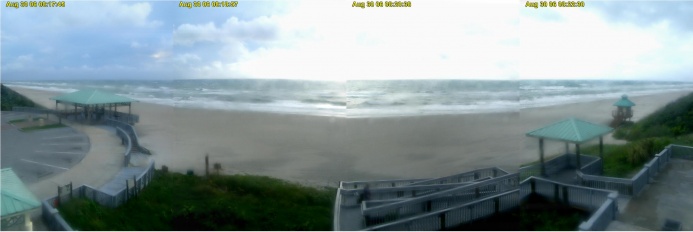
The image from the archive before the one shown above is from 8:18 am.
I would strongly recommend that kiters checkout both reflectivity and velocity images when weather planning for sessions. Remember just because something is inbound doesn't mean it will necessarily arrive or won't be replaced by something equally serious at a different time.
NWS radar is available for your area at:
http://www.nws.noaa.gov/
You can click on the images to zoom in closer.
More about these images and interpretation at:
http://www.srh.noaa.gov/jetstream/re...velocityimages